top of page
What we do as a UAV Service Provider
             
          UAV Data Collection

We offer a fully automated aerial image acquisition system for drones to ensure high-resolution aerial images with proper intervals. We use different sensor ( RGB, NIR, Thermal ) according to project need. We optimize the data acquisition through in-house preplan which reduce survey time on field.

             
          UAV Mapping Service

We provide professional Drone data processing service. The service includes aerial triangulation, point cloud generation, DTM / DSM creation, Orthophoto production, Mapping (3D, 2D), report generation and consulting. Our data products fulfill the requirement of clients and ensure real-world matching.
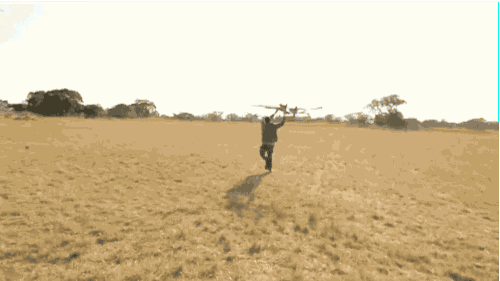
             
             Need UAV Pilot ..?

We have a strong connection with all leading licensed and Hobby UAV/Drone pilots for various application sectors like Photography, Events, Mapping, Inspection, Surveillance, Marketing, etc. Based on client needs, We can provide pilots on a permanent, contractual and project basis.

with-one-hand-holding-up--globe-icon-93998.png

Office Address

Head Office

INDIA

No 63, Bashyam Nagar,          Chromepet, Chennai,
Tamilnadu - 600044.

Regional office

UAE

Office No. 302 -  Al Murar - Deira,
Dubai -117-227, UAE

AUSTRALIA

Unit 4310, 550 Lygon Street, Carlton, Melbourne, Victoria - 3053

   Our Strength

  • Standard Processing System

  • Quality and Cost-effective

  • Solution through Latest Technology

  • Confidential and Data Security

  • 24 X 7 Support

To subscribe our Social Media for information 

Contact Us
 

Email : info@spatialmates.com

          sales@spatialmates.com

Phone : 

            +91 8056576056

            +971 545740790

            +91 9344751825

            +14849047033

            +61 421741338

  • LinkedIn - Black Circle
  • Facebook - Black Circle
  • Twitter - Black Circle
  • YouTube - Black Circle

All Rights Reserved © 2022 by SpatialMate Consultancy pvt ltd.

bottom of page